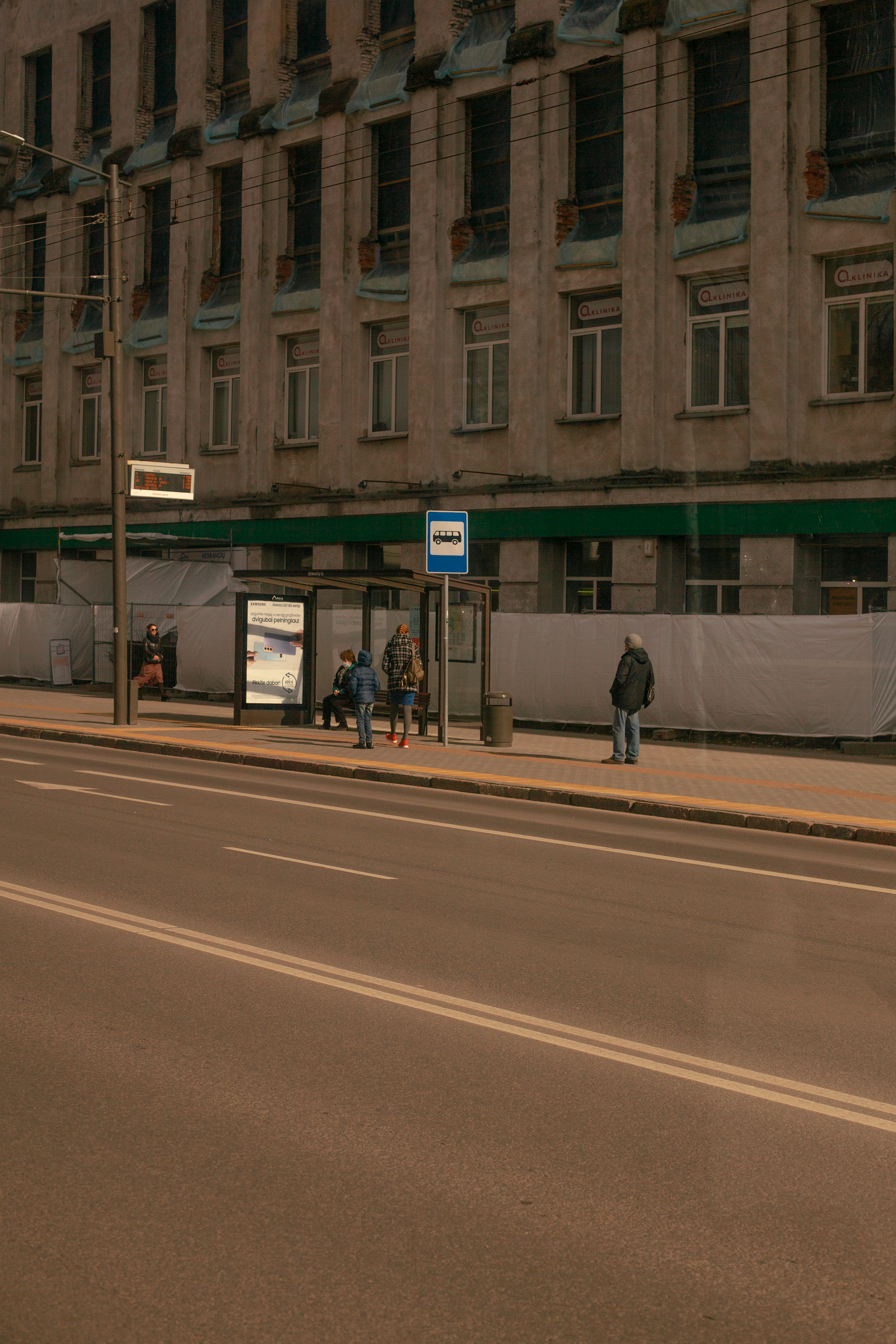
Every bus route in Port Calder looks simple on the map at the stop. Behind each line is a planner trying to balance speed, coverage and cost. A viewer asked why route 14 takes a long loop past the hospital, so we asked the person who drew it.
In this video
- 00:00 The loop on route 14
- 00:30 Straight lines versus coverage
- 01:25 What the ticket data shows
- 02:15 Why the hospital stays
- 02:50 How to ask for a change
Fast or close
A straight route is quick for the people on it but leaves others with a long walk. A route that turns into every neighbourhood reaches more people but takes longer for everyone. Planners call this the trade-off between frequency and coverage, and every network sits somewhere between the two.
The data behind the loop
Planner Jun Albrecht showed us ticket data for route 14. About 1,100 people a day get on or off at the hospital stop, many of them patients and night staff who do not drive. The loop adds four minutes to the trip for everyone else.
If I take the loop out, I save four minutes for a lot of people and add twenty minutes of walking for people who are often unwell. That is not a close call, said Albrecht.
Route 14 is not unusual. Albrecht says about a third of the city’s routes include at least one detour of this kind, usually to a hospital, a school or a large housing estate. Each one is checked against the ticket data every year, and two detours were removed last spring when fewer than fifty people a day were using them.
How to ask for a change
The transport office reviews every route once every two years and opens a public survey before it does. Route 14 is next reviewed in spring. You can also write to the planners at any time through the transport office’s contact form; Albrecht says every message is read and counted.
Sources
- Ticket data for route 14, shown on screen
- Transport office network review schedule
- Interview with planner Jun Albrecht